Post written by Charlotte Conway, Public Programs Coordinator.
Daily Discovery: Map Making
Have you ever looked up your house on Google Maps? It can be pretty cool to see your own neighborhood from a different perspective! You can also find all sorts of maps and photographs of your town from history through the local Archives and Collections at FCMoD! Check out maps from your own community, and then make a map of your own!
Supplies:
- Graph paper or paper
- Colored pencils
- Pencils
- Ruler
Instructions:
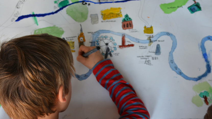
- Maps are a two-dimensional representation that records the natural and build world around them, usually from a “top-down” perspective. There are many different types of maps each with different uses and looks!
- Compare and contrast the maps provided from Fort Collins Museum of Discovery’s Archives and Collections. What do the maps have in common? What is different about them? How do the maps differ based on how people might use them? How do the maps make use of colors, symbols, or labels to communicate their meaning?
- Now, it’s time to start designing your map! First, select a place you would like to make a map of. It could be your own neighborhood, somewhere from a different city, or even a made-up place!
- Next, consider the purpose of your map. What is your map trying to communicate? Will it be a political or road map that focuses on man-made features? Will it be a physical map that shows natural features?
- Now that you have your purpose in mind, plan out the other features of your map that will make it more effective for your users.
a. Legend – This is a visual explanation of the symbols you use on your map. How will you show the contents of your world on your map? If you use symbols, how will people know what they represent?
b. Scale – This is the relationship between distance on your map and the same distance you are trying to represent on the ground. How will you translate the scale of world into a map that will fit on the paper? How will people who see your map know how large your world really is?
c. Labeling – This is how you will write labels so that they clearly identify the right features on your map. How will people know what your map is supposed to be showing? How will they know who made the map and when? - Draw out your map. Get creative with your representation, but remember to keep your purpose in mind so that your map is useful too!
- Keep the exploration going! Did you know FCMoD houses artifacts and collections from Northern Colorado, including historic maps? Explore maps from Northern Colorado. Explore your town using the GPS applications on smart phones or Google Maps, and then explore the world! What will you discover?
Want to download these directions? Click here for a handy PDF!
Follow along with our Daily Discovery! Click here for all activities that you can do at home.
Photo Credit: BABYCCINO